I've been working on some really nice Map code today. I've added U.S. Counties By State, All Cities By State, and tweaked the destination when you select a place. Instead of going to my NeXht app, it goes to a new built-in Google Map, with options.
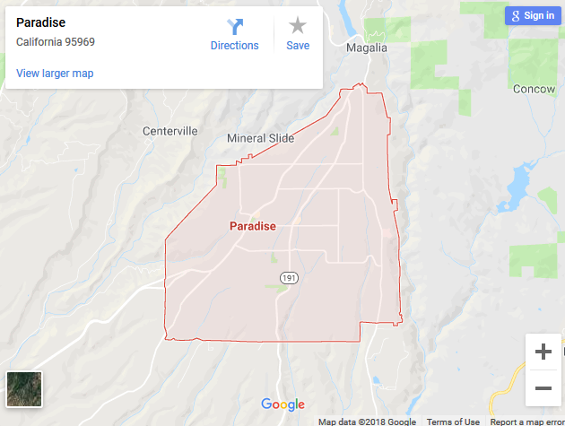
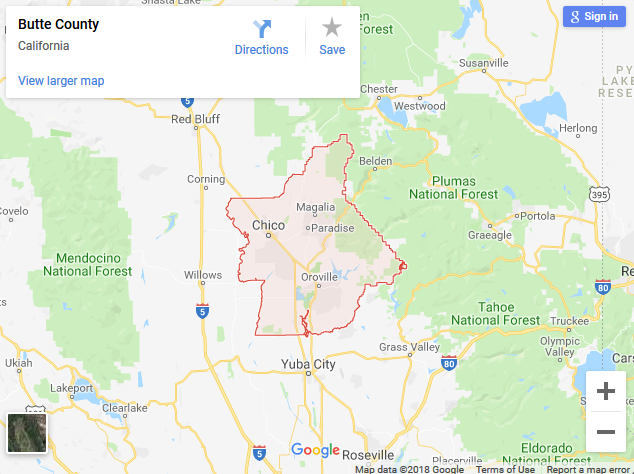
My goal today was to display polygon outlines around cities and counties. I have the data, and the knowledge to pull it off, but to my surprise Google is doing it for me. Sometimes I really love those guys...
Below is an example map created from the query Paradise, CA and below that is the result of a Butte County, CA query. Considering that I've got more than 20,000 cities in my database, and over 3,000 counties, this little map handles them all. It also works great on National Parks, U.S. State Capitols and Colleges.
The first map will sadly self-destruct shortly...

