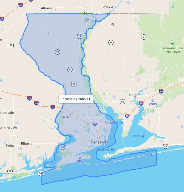
A couple of years ago I put a lot of work into generating polygon outlines for every county in the U.S. Today I implemented then into my new program, on a Leaflet map, and they look damn cool. Once you drill down to the county level within a state, clicking on the county name opens up a map with the outline overlayed. I even plugged a title layer on to it so you know what you're looking at. Zooming the map removes the title.
Run the program!
↑ Shelby's neck of the woods...
